Features

  • Implementation base on high performance cloud computing client - server architecture
  • Support multithreading 32 / 64-bit windows OS
  • Use the latest JAVA implementation technology and developed with a modular design
  • The intuitive and easy-to-use interface
  • Coarse and refined baseline Estimation base on orbit and data
  • 2-Pass / 3-Pass / 4-Pass coherency map and interferogram generation
  • Post processing for interferogram image
  • Advanced phase filtering with statistic and spatial model
  • Automatic removal of flat Earth phase trend
  • SAR image / Layover / Shadow simulation base on DEM data
  • Displacement generation with / without DEM
  • Tie point automatic registration

With File Manager UI Real Cloud Solution

Supported by cloud computing, users can enjoy high-speed processing of InSAR & DInSAR.

With InDIS, parameter-setting will be the only thing you need to do.

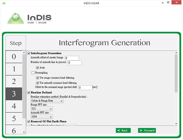
More Advanced Settings

InDIS has standard and advanced mode to better meet the the needs of different users.


  • InSAR Advanced Settings
  • Registration
  • Interferogram Generation
  • Baseline Estimation
  • Geocoding
  • Tie Point Setting
  • DinSAR Advanced Settings
  • Geocoding
  • Tie Point Setting
  • Displacement Setting
  • Delivering for Further Application

    InDIS includes InSAR and DInSAR processing. For easy display and delivering for further application, ENVI and GeoTiff are the two supported output formats by InDIS.

    InSAR
    Coherence image
    Master SAR power image
    Slave SAR power image
    InSAR amplitude image after removal of flat earth phase and filtering
    InSAR interferogram after removal of flat earth phase and filtering
    Float 32 - bit, ENVI
    Float 32 - bit, GeoTiff
    Unsigned 8 - bit, GeoTiff
    Interferogram Float 32 - bit/Complex, ENVI

    Delivering for Further Application

    InDIS includes InSAR and DInSAR processing. For easy display and delivering for further application, ENVI and GeoTiff are the two supported output formats by InDIS.

    DInSAR
    Layover mask image
    DInSAR phase image after filtering
    DInSAR phase - unwrapped image after filtering
    Coherence image
    Master SAR power image
    Slave SAR power image
    Shadow mask image
    Simulated SAR image
    Image of elevation change
    Image of slant range change
    Image of displacement in X ( Easting ) direction ( assumed no change in Z )
    Image of displacement in Y ( Northing ) direction ( assumed no change in Z )
    Image of displacement in Z ( Northing ) direction ( assumed no change in Z )
    Float 32 - bit, ENVI
    Float 32 - bit, GeoTiff
    Unsigned 8 - bit, GeoTiff

    High Quality End-products

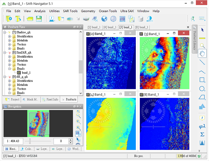
    The results of InDIS can get the best display on SAR-NAV ,and also can use for subsequent analysis and statistics.