Features

  • Support multithreading 32 / 64-bit windows OS
  • Use the latest Java implementation technology and developed with a modular design
  • Tiled memory management for working with very large data products, display, statistics and analysis
  • Metadata handling
  • Image processing: Subset, resample and band arithmetic
  • Absolute calibration
  • Multilooking and speckle ( single and multitemporal ) filtering
  • Range - doppler terrain correction
  • Coregistration of detected and complex products
  • Radiometric normalization during terrain correction
  • SAR simulation
  • Layover and shadow masks
  • Simulated SAR terrain correction
  • Ellipsoid correction, map reprojection and mosaicking
  • Ocean tools: basic routines for oil spill detection, ship detection and wind field estimation
  • SENTINEL-1 SAFE readers
  • SENTINEL-1 TOPSAR deburst and merge
  • Supporting Multiple Satellite Data Formats
    Reading Raw Data without File Conversion

    Import
  • AATSR
  • ALOS/PALSAR
  • ALOS-2/PALSAR-2
  • ASAR Wave Products
  • COSMO-SkyMed-1,2,3,4
  • ENVISAT/ASAR
  • ERS/AMI-1,2 ( CEOS & ENVISAT format from PGS and VMP )
  • JERS/SAR
  • MERIS
  • Sentine​l-1A
  • RADARSAT-1,2
  • TerraSAR-X
  • Export
  • ENVI formats
  • GeoTiff
  • HDF 4,5
  • NetCDF
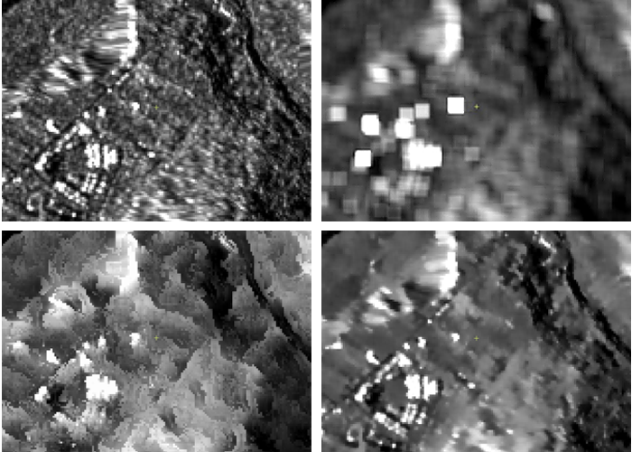
  • The Speckle Filters for Handling
    Speckle Noise of Different Distributions

    SAR Simulation

  • To simulate the SAR amplitude image
  • Generate layover - shadow mask
  • Automatic or manual import DEMs ( ACE, GETASSE30, SRTM 3Sec GeoTiff, ASTER GDEM )

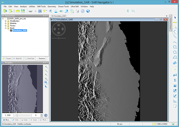
  • Range Doppler Terrain Correction

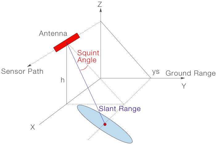
    Due to topographical variations of a scene and the tilt of the satellite sensor, distances can be distorted in the SAR images. Terrain corrections are intended to compensate for these distortions.

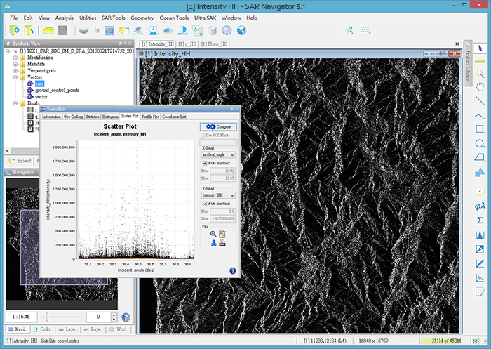
    Display and Analysis Tool

    Analysing and processing application