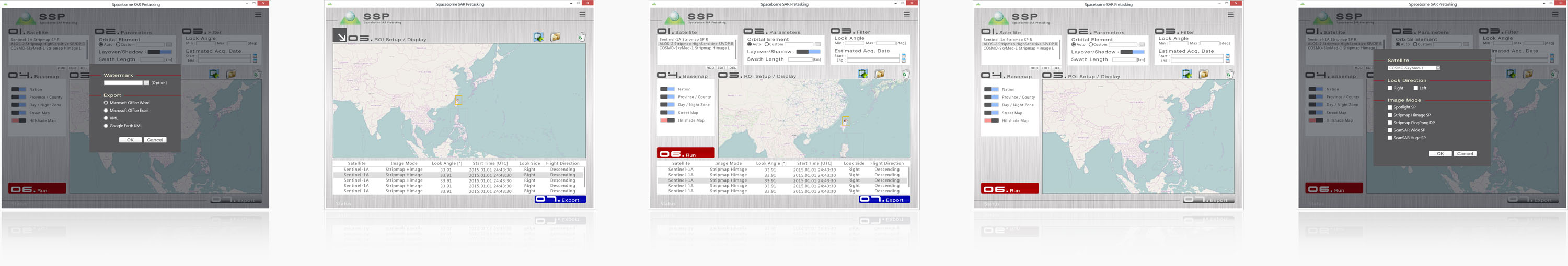
Features
- Supported operating system: Windows 7 and higher
- Intuitive GUI design
- Support management of user account and pre-task planning project
- Support pre-task planning of ALOS-2, COSMO-SkyMed-1,2,3,4, Sentinel-1A, TerraSAR-X, and RADARSAT-2
- Support user-defined parameters for orbit paths and SAR acquisition
- Simulation of terrain effects ( eg. layover and shadow ) with cloud computing
- With built-in basemaps: streepmap and contours / hillshade map
- Support online update of orbital trajectory database and basemaps
- With built-in satellite-specific look angle
- Built with sort method that could modify the acquisition list in-place to facilitate indexing
With File Manager UI Real Cloud Solution
Supported by cloud computing, users can enjoy high-speed processing of pre-task planning.
With SSP, parameter-setting will be the only thing you need to do.

Supported File Formats
| Import |
|
|
| Export |
|
|
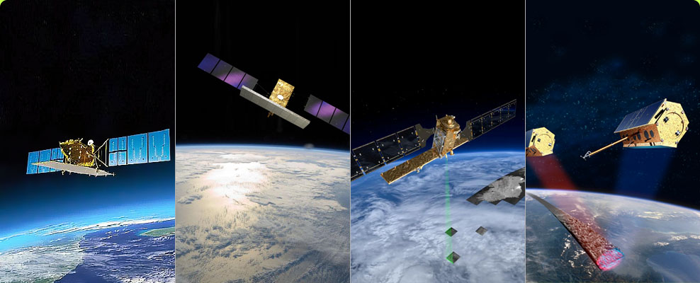
Support Satellite-borne SAR System On Duty
Support pre-task planning of ALOS-2, COSMO-SkyMed-1,2,3,4, Sentinel-1A, TerraSAR-X, and RADARSAT-2
On-line Simulation Of Terrain Effects
( Layover And Shadow ) With Cloud Computing
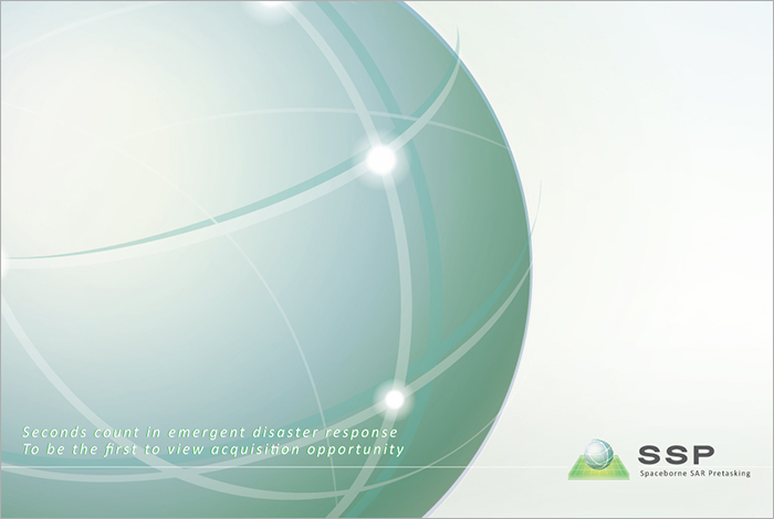
Realize the applicability of planned SAR imagery
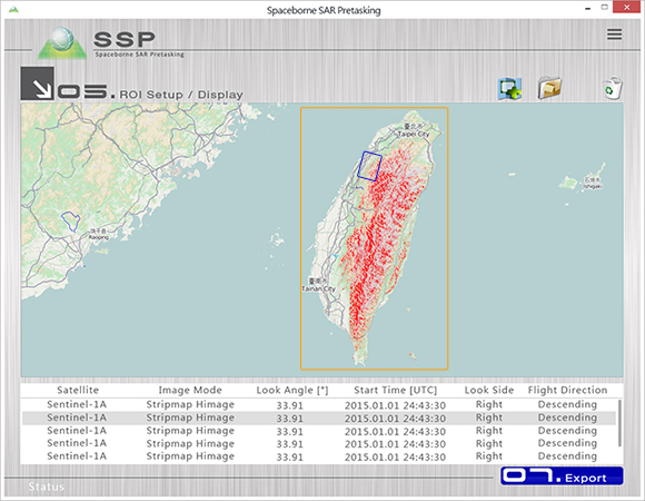
High Quality End-products
Intuitive task flow and excellent image display