![]()
airGmap Aerospace Technology is a company dedicated to developing remote sensors and Internet Of Things ( IOT ) servers for publishing geo-information. We offer total solutions for geo-database management compatible with highly efficient and flexible user experience. Being devoted to the design and development of multi-sensors/platforms specific for aerospace, underwater, on the ground and underground surveillance, we are capable to provide users flexible deployment alternatives and innovative user interface based on our customer demands.
airGmap is based in London, UK. We specialized in space remote sensing, aerospace engineering, electrical engineering, communication system, hydrologic engineering, image processing and analysis, aerospace navigation, geological engineering, cartography, software engineering, and computer engineering. Based on the latest big data trend, airGmap has developed a whole new strategy for IOT solutions. We not just provide high-tech products for end-users ( eg. signal analysis for optical / microwave / thermal / hyperspectral remote sensors, as well as accelerator and gyroscope ), but advanced concepts - Environment Information Services ( EIS ) as intelligent decision support for our customers, which comprises information extraction and integration, flexible structure design, and compliance with the open standard protocol for IOT services.
Solutions from airGmap:
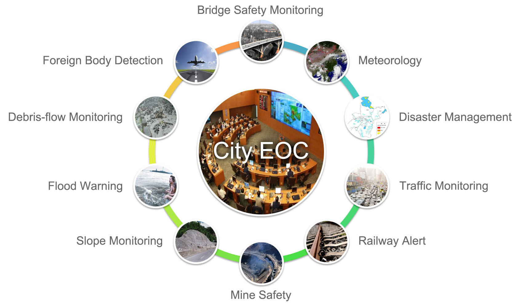
Urbanization has put forward critical management issues and introduced numerous social impacts. In the digital age, Wisdom 2.0 is at the leading edge for social development. With EIS strategy and advanced sensor equipments, airGmap could totally support the future development of smart city and intelligent land planning.