Features
Features
- High-performance 3D Virtual globe API and SDK.
- Adds 3D geographic visualization to any application.
- Runs on Windows, Mac OS X, Linux, iOS ( partial ) and Android ( partial ).
- Support Pure WebGL APIs., also OpenGL APIs and .NET Environment.
- Support OIMS Clouding Service.
- Displays high-resolution imagery, terrain and geographic information from any open-standard public or private source.
- Open-standard interfaces to GIS services and databases.
- Simple to extend and modify, designed to be extensible.
- Support Stereo and nVidia Technique.
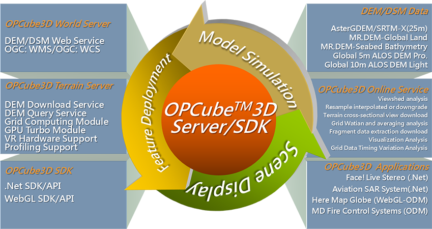
Server
Functional Specifications
- Support 64-bit OS such as RedHat Linux and CentOS Linus.
- Based on “J2EE” architecture and software load balance mechanism.
- Support the version including and above Oracle JRockit R28.1.
- The server-end is able to publish three-dimensional sphere scene running by OGC WMS/WCS, including the satellite images mosaicked by GDEM, Landsat7 and Blue Marble.
- The server-end supports the users to demonstrate three-dimensional sphere scene via installed GDEM and satellite images functions such as:
- Global SRTM DEM includes terrestrial and submarine topography.
- Global Landsat7 and Blue Marble satellite images.
- Support the server-end satellite images and DEM work smoothly on OPCube 3D server. And the images format fit all emergency disaster response situations.
- Support the ability of high-speed computing cluster and heterogeneous data server-side loading balance.
- Support the virtual machine to backup the management structure, and is able to present high-speed computing performance and to deploy the clouding machine group for gaining carbon reduction benefits.
Client
Functional Specifications
- Support 32-bit and 64-bit Windows to work the same time.
- Able to fit Net Framework.
- Support the version including and above Microsoft Windows SDK v7.0 to develop customized plug-in functions.
- Customized OPCUBE must support the following functions:
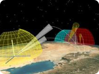
- Smooth operation of three-dimensional sphere scene model, including inertial aviation special effects.
- Browsing three-dimensional sphere scene aviation model by mouse and joystick.
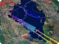
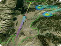
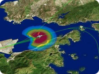
- Overlapping the latest seismological report with GeoRSS onto three-dimensional sphere scene.
- Integrating WMS Cloud Service with three-dimensional sphere scene.
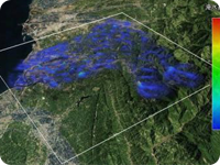
- Overlapping Bing Map online satellite images and electronic map onto three-dimensional sphere scene.
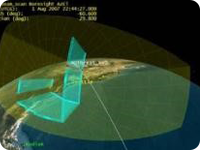
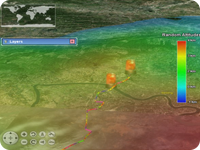
- Loading and simulating the immediate aviation track and aviation altitude of satellite when operating three-dimensional sphere scene.
- Able to add, delete and revise landmark notes when operating three- dimensional sphere scene.
Client
Functional Specifications
- Able to stimulate the following special effects in three-dimensional sphere scene:
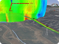
- Demonstrate any section of terrain profiles dynamically.
- Adjust the scale flexibly while zooming in or out the three-dimensional sphere scene dynamically.
- Adjust the satellite images and the transparency of the aviation images immediately.
- Adjust the scale of real DEM dynamically.
- Immediately adjust the light of topographic images dynamically.
- Demonstrate the view range dynamically in the global map of eagle eye.
- Use 3D glasses to demonstrate the parallax effect.
- Support to demonstrate the planet inertial motion effects.
- Support to demonstrate the latitude and longitude effects.
- Support to demonstrate the sky scenic effects.
- Support to demonstrate the star effects.
- Support to demonstrate the sunlight direction effects.
- Support to demonstrate the atmospheric effects.
- Support to demonstrate the eustatic sea level flooding effects.
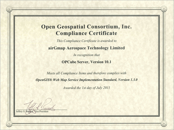
OGC Compliance Tests Passed